Snowstorm sets sights on Halifax
Posted Dec 13, 2013 07:40:17 AM.
This article is more than 5 years old.
While the rest of Canada froze, Halifax had near double digit temperatures.
While snow pummeled the rest of Canada, Halifax sat and watched the rain come down, but that’s all coming to an end Sunday.
Meteorologist Richard Zurawski says a big dump of snow is on the way and it will start Sunday morning at around 8 a.m.
“In the afternoon it’s going to start in earnest and then overnight into Monday we’re looking at some significant amounts of snow,” he explains. “Temperatures will probably be hovering around the freezing mark or below in the Halifax region. We could see 25 centimetres of snow once in total by the time it’s all done after the cold snap.”
He adds this isn’t a case where the peninsula will be spared.
“Temperatures are going to stay a little on the cool side for the foreseeable future,” says Zurawski. “So get your snow shovels ready, put another log on the fireplace, put on a woolly sweater and hunker down because this is winter weather.”
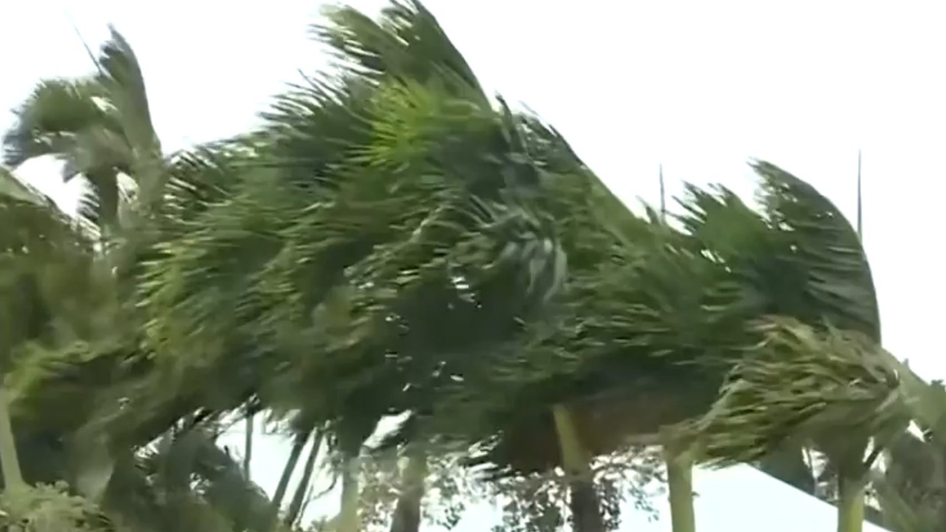
He predicts there will also be gusty winds and it’s going to be a wide-spread storm with lots of blowing snow.
“We’re looking at winds gusting between 60 and 80 km/hour so as soon as you clear the snow out, it’s going to come back in again,” he says.
If you have to go out and do some shopping, it’s best to try and do that by the end of Saturday.
“If you have any travel plans for Sunday and into Monday, I would certainly look into it because the weather is not going to be conducive to travelling either on the ground or in the air,” explains Zurawski.
To make this the perfect storm, the HRM winter parking ban goes into effect Sunday and will likely be enforced.
That means no parking on the roads between 1 a.m. and 6 a.m. in the morning.
To sign up for HRM’s city watch alerts, head to halifax.ca/snow/parkingban, email contacthrm@halifax.ca or call 311.