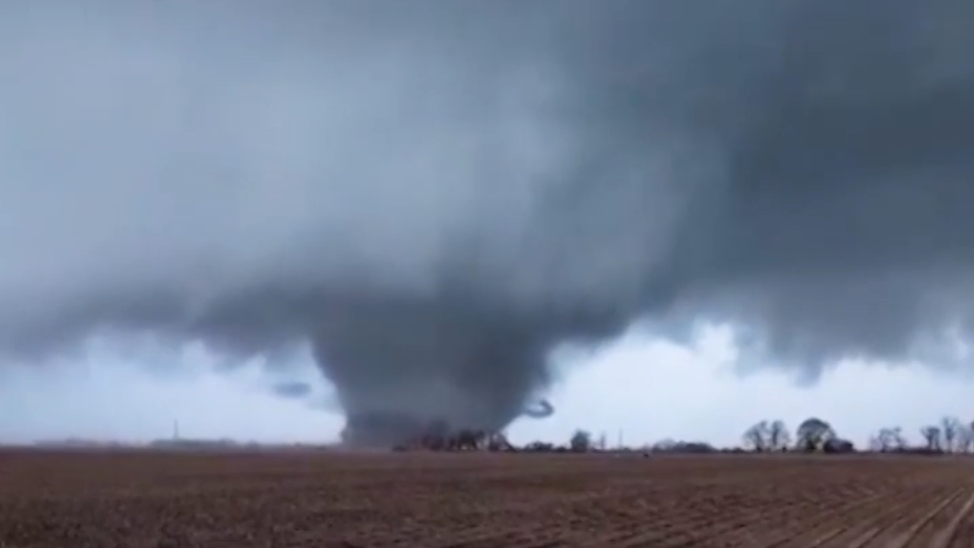
Tropical Depression Erin expected to impact Nova Scotia on Thursday (update)
Posted Aug 28, 2019 01:24:00 PM.
This article is more than 5 years old.
A weather system that developed Monday off the coast of the Carolinas has gained enough strength to become a named storm.
Erin briefly gained tropical storm status early Wednesday before being downgraded to a tropical depression just before noon.
Environment Canada expects Erin to be post-tropical by the time she arrives on our doorstep Thursday, but we still don't know exactly how Halifax will be impacted.
In a Wednesday morning interview, a meteorologist with the Canadian Hurricane Centre said that's because there's still a lot of uncertainty about where the storm will pass over Nova Scotia.
“We're still looking at a track that could be anywhere from the Yarmouth area to the Sydney area. Just given the trajectory of the storm, it kind of parallels the coast,” Bob Robichaud said. “Any little jog is going to have a huge impact on where exactly it intersects the coast.”
“That's why we're still not able to say precisely where those strongest winds will be.”
Robichaud explained, those to the left of Erin's centre will get the heaviest rain and those to the right will get the strongest wind.
“If we're looking at a scenario where this comes up from Yarmouth, then we may not be looking at a whole lot of rain over Nova Scotia at all and mostly windy condtions, whereas if the track is more over eastern parts of Nova Scotia, that's when we'll get into those heavy downpours.”
He said Tuesday's projections had the storm tracking more southeast of the Maritimes, but now that it's shifted west, it could interact with an approaching cold front, which would boost rainfall totals.
“Typically what we say with every tropical system that comes up, you can generally expect 50 to 100 mm of rain, and then once the storm gets closer we can zero in on actual amounts with our computer modelling,” Robichaud said. “That 50 to 100 is looking more likely, at least for some parts of the Maritimes, but again, it's impossible to say exactly where at this point.”
He said the potential danger from rain likely won't come from the total amount over the entire event, but how much could quickly fall in a short period of time.
“Whenever you're dealing with a tropical system like this, you can go pickup a good 30 mm per hour in terms of rainfall rates which, based on past experience, can cause localized flooding, and in some cases road washouts. It all depends on where this thing is going to go.”
At this point, Robichaud expects showers to start falling in the western part of the province early Thursday, reaching Halifax around midday.
“Here in the Halifax area … if we do get into really heavy downpours, it probably won't be until the evening hours for us here,” he said.
Robichaud said, by Friday morning, it should be cooler, but he doesn't expect many lingering effects from Erin.
“But, given the uncertainty in the track, it's important to keep monitoring what this thing is going to do.”


