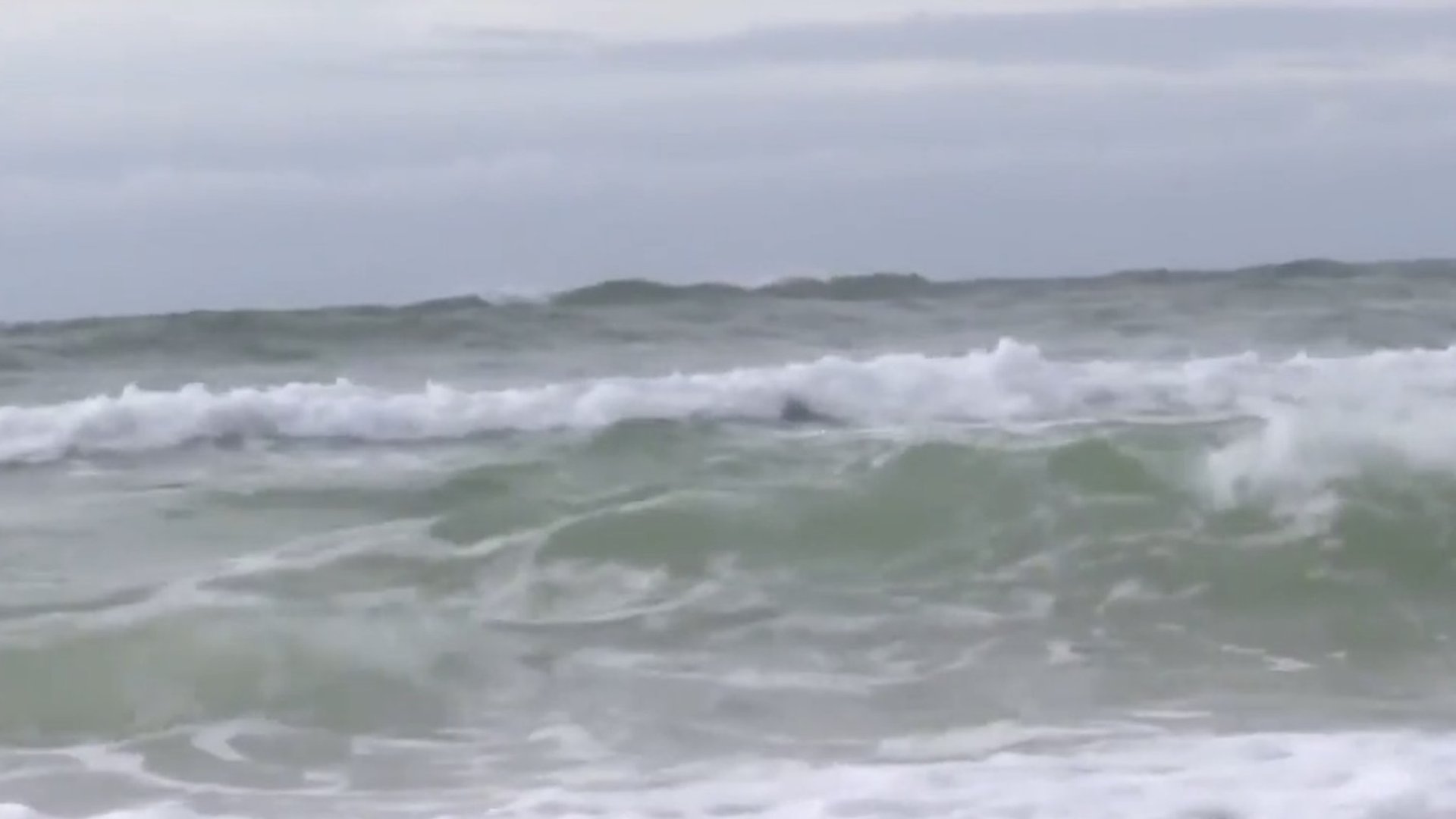
Hurricane Irene may reach Atlantic Canada
Posted Aug 22, 2011 06:08:04 AM.
This article is more than 5 years old.
The ninth named storm of this hurricane season is brewing over the Mid-Atlantic. Earlier this morning, Irene was categorized as a full-blown hurricane as she moves over Puerto Rico.
It’s still too early to predict, but there is a possibility that Hurricane Irene may be the first storm this season to bring nasty weather to the Maritimes.
Our meteorologist Richard Zurawski says whether that happens will have a lot to do with how much of an impact Irene will have on Florida.
“If it misses Florida and starts to move up the Eastern Seaboard, well, there’s always the chance that we could be looking at the remnants of Hurricane Irene,” he says. “We keep watching the southern waters and looking at the path of these storms as they starts to move north. And the question is, ‘will they affect the Maritimes?’ and we’re watching this one and this is kind of a heads-up.”
The 2011 hurricane season has been active, but we’ve been lucky in the Maritimes so far, not even catching the tail end of a named storm. But Zurawski warns, we’re only halfway through the season.
“Hurricane Juan was storm number ten, and it happened at the end of September. We’re at storm number nine, and we’re not at the end of August yet,” he says. “So, we’re well ahead of that and it’s going to be an active season.”
Zurawski says at the current pace this year, it’s shaping up to be the most active hurricane season ever in the Mid-Atlantic.